Lost Horizons: Considering the Dust Bowl
2021-present
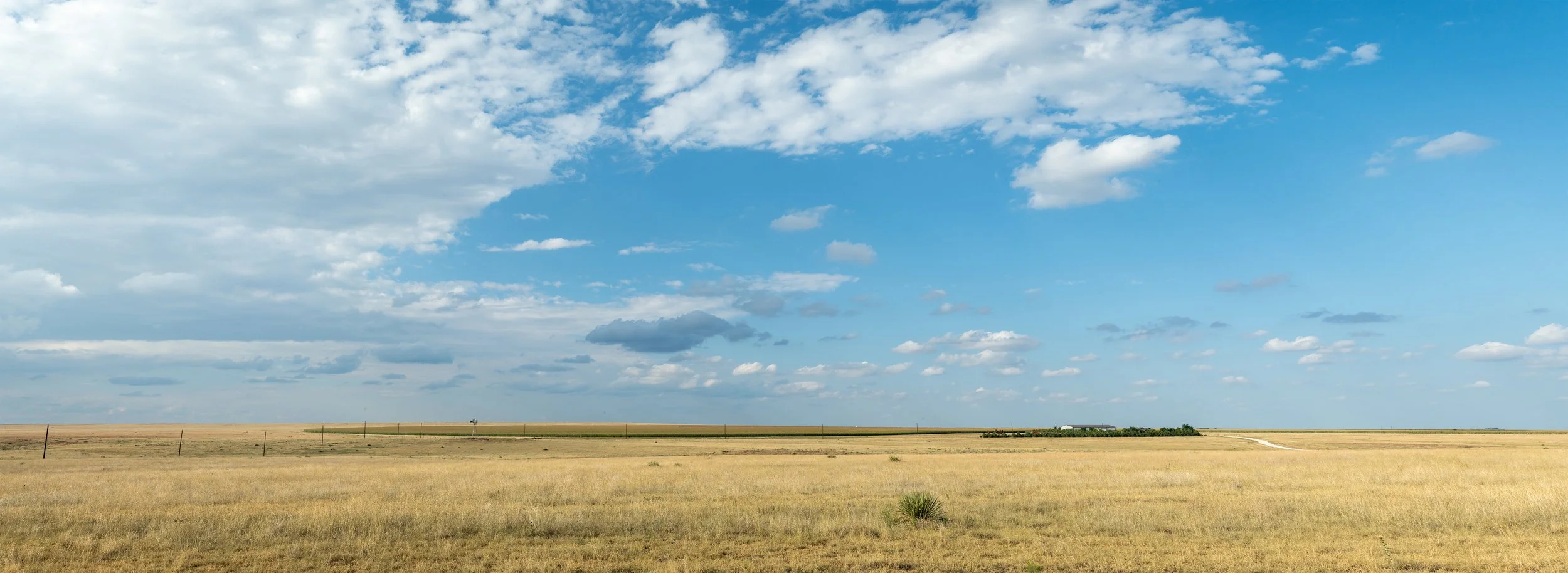
Farm and Crop Circle

Razed Homestead, Rita Blanca Grasslands
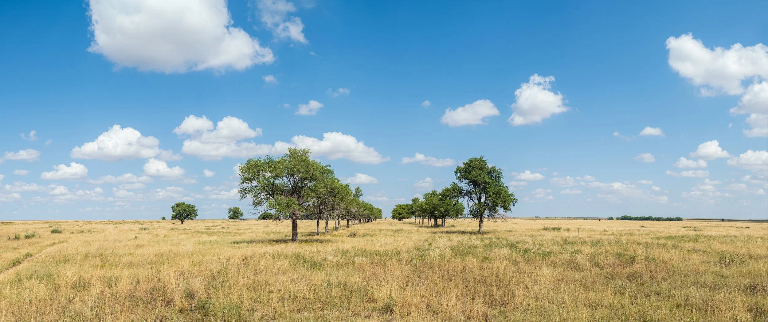
Remnant Allée of Trees
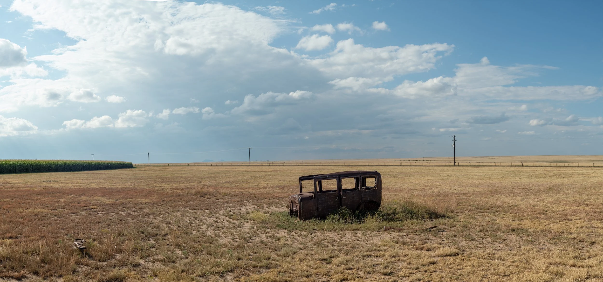
Abandoned Car and Crop Circle
Through archival research and field photography, Lost Horizons: Regarding the Dust Bowl explores the barely visible remnants of razed Dust Bowl homesteads in the Kiowa and Rita Blanca National Grasslands. The project reveals how landscapes record past environmental crises even as present-day extraction threatens to repeat them.
Our current landscape is a palimpsest of past actions; decisions and events recorded physically into topography and terrain. The Kiowa and Rita Blanca National Grasslands, where I've been working since 2021, exemplify this phenomenon. Long a contested landscape, this area lies in the historic territories of the Kiowa, Apache, Arapaho, and Osage peoples, who were displaced by settlers after the Homestead Act of 1862. By the 1930s, this ecosystem had become the epicenter of a national environmental disaster: the Dust Bowl. In a monumental restoration effort, the federal government purchased failed farms, resettled the farmers, razed their buildings, and replanted native grasses.
Using historical records and field photography, I identify these razed homesteads and document the minute traces that remain: fragments of foundations, depressions where buildings once stood, introduced plant species still visible nearly a century after abandonment.
Since the 1930s restoration efforts, this same area has become a center for heavily irrigated crops. The distinctive crop circles visible from above are fed by center-pivot irrigation systems drawing from the Ogallala Aquifer. This large-scale extraction is rapidly depleting the aquifer, placing the region at environmental risk once again.The project draws parallels between the 1930s Dust Bowl and today's Ogallala Aquifer depletion.

Razed Homestead and Corral